20 JAN – 25 FEB
美山かやぶきの里
A thatched hamlet under snow, lanterns on eight winter evenings
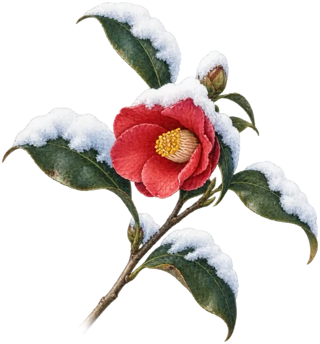
Kigo · 初雪 · hatsuyuki · winter
First snow — just enough to bend the narcissus leaves.
Matsuo Bashō · 17th century
The average run of unbroken snow cover of at least 1 cm at the lowland stations; ski areas and mountain villages hold snow for weeks longer at both ends. The Sea of Japan coast from Niigata to Tottori and the north of Kansai see snow on the ground on some days from mid-December to mid-March, not continuously · averages 1991–2020, Japan Meteorological Agency · a given year runs up to ten days either way
Snow scenery needs snow that stays on the ground, not a day of snowfall. Mount Fuji's first snow cap, normally on 2 October, says nothing about the towns below. From the winter of 2026–27 the first-cap date comes from the weather agency's analysed snow depth instead of an observer's eyes, so new dates do not continue the old series.
How long it lastsWarm days and rain melt it, and wind speeds the melting; fresh snow can follow. Check the snow on the ground, not the snowfall forecast.
2 OctMount Fuji, first snow capThe normal date. Earliest on record 9 August 2008, latest 7 November 2024.
26 Sep – 7 NovLast five years2021: 26 Sep · 2022: 30 Sep · 2023: 5 Oct · 2024: 7 Nov · 2025: 23 Oct.
If you are earlyA first snow cap is a line in a record, not a reason to walk into winter mountains. Look at the analysed snow depth for the place itself.
If you are lateThe Tateyama Kurobe Alpine Route, with its spring snow corridor, ran from 15 April to 30 November in 2026; the 2027 opening is not announced yet.
20 JAN – 25 FEB
A thatched hamlet under snow, lanterns on eight winter evenings
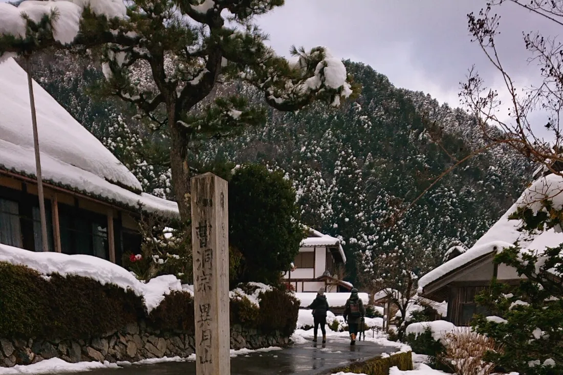
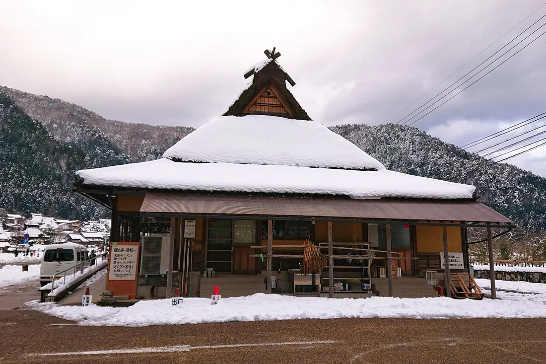
Photos · 経済特区 · CC BY-SA 4.0
04 FEB – 15 MAR
Drift ice from the Amur, and an icebreaker that rides up onto it

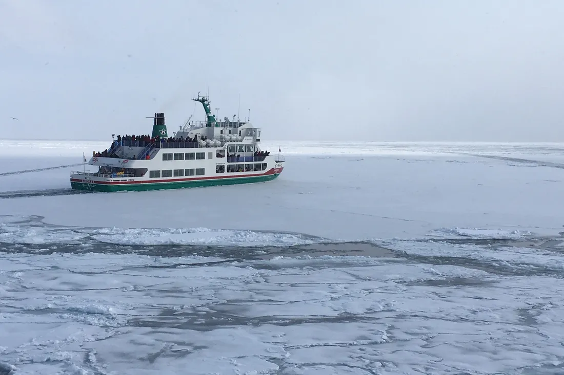
Photos · kkawamura · CC BY 4.0 · Lkj12344321 · CC BY-SA 4.0
—
Field research continues across the country. Updates published as verified.